Maps·1852
The county in 1852, when the only way in was a road
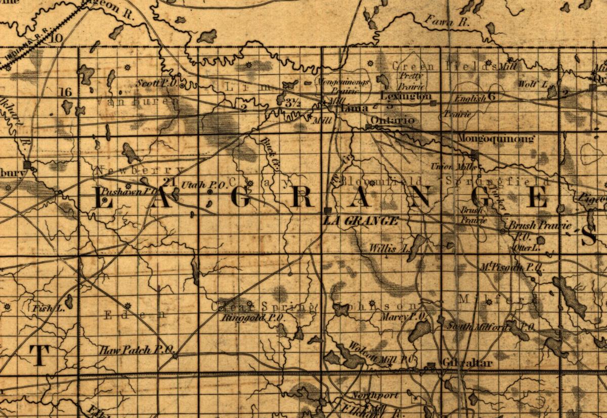
Map of the state of Indiana compiled from the United States surveys by S. D. King, Washington City, New York, 1852, detail
Library of Congress, Geography and Map Division
The content of the Library of Congress Geography and Map Division digitized collections is free to use and reuse unless a Rights Advisory statement is present that indicates otherwise. Credit Line: Library of Congress, Geography and Map Division.
Crop box x 9574, y 1390, 1792 wide by 1235 high, on the 14321 by 20462 sheet on the source sheet.
Served at 1792 by 1235 for this crop, about 64 pixels to the mile, cut from a sheet the host serves at 14321 by 20462.
A county sheet: it covers all eleven townships.