Greenfield Township
9 sheets cover this township, across 7 years.
1852
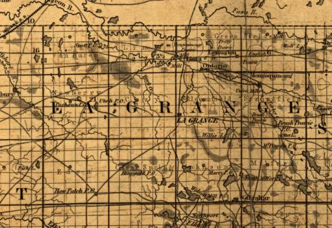 The county in 1852, when the only way in was a road
Map of the state of Indiana compiled from the United States surveys by S. D. King, Washington City, New York, 1852, detail
Library of Congress, Geography and Map Division
1874
 The whole county in 1874, drawn by S. W. Durant
Illustrated Historical Atlas of LaGrange County, Indiana, Andreas and Baskin, 1874, printed page 12 (leaf 16)
 Greenfield Township in 1874, with every landowner named
Illustrated Historical Atlas of LaGrange County, Indiana, 1874, printed page 18 (leaf 22)
1888
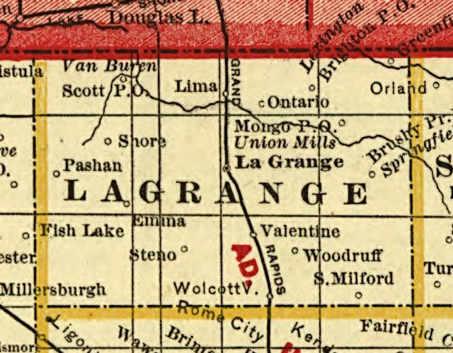 The county in 1888, with one railroad through it
Cram's township and rail road map of Indiana, George F. Cram, Chicago, 1888, detail
Library of Congress, Geography and Map Division
1893
 The whole county in 1893
Illustrated Atlas and Columbian Souvenir of LaGrange County, Indiana, 1893, printed page 17 (leaf 21)
 Greenfield Township in 1893, two ranges wide
Illustrated Atlas and Columbian Souvenir, 1893, printed page 19 (leaf 23)
1896
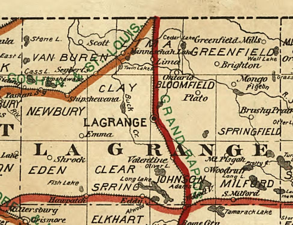 The county in 1896, with all three railroads named
Railroad map of Indiana, published for the State Board of Tax Commissioners, 1896, detail
Library of Congress, Geography and Map Division
1897
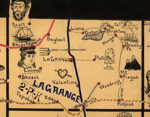 The county on the railway mail map of 1897, with every station lettered
Galbraith's railway mail service maps, Indiana, by Frank H. Galbraith for the United States Railway Mail Service, Chicago, 1897, c1898, detail
Library of Congress, Geography and Map Division
1904
 The whole county in 1904, by Shepardson and Rerick, who copyrighted it
The 1904 Map of La Grange County by Shepardson and Rerick, lithographed by W. Wangersheim, Chicago
Map Collection, Indiana Division, Indiana State Library
Who owns it now
The county GIS department publishes Beacon, the current parcel lookup, for who owns a piece of ground today. LaGrange County GIS.